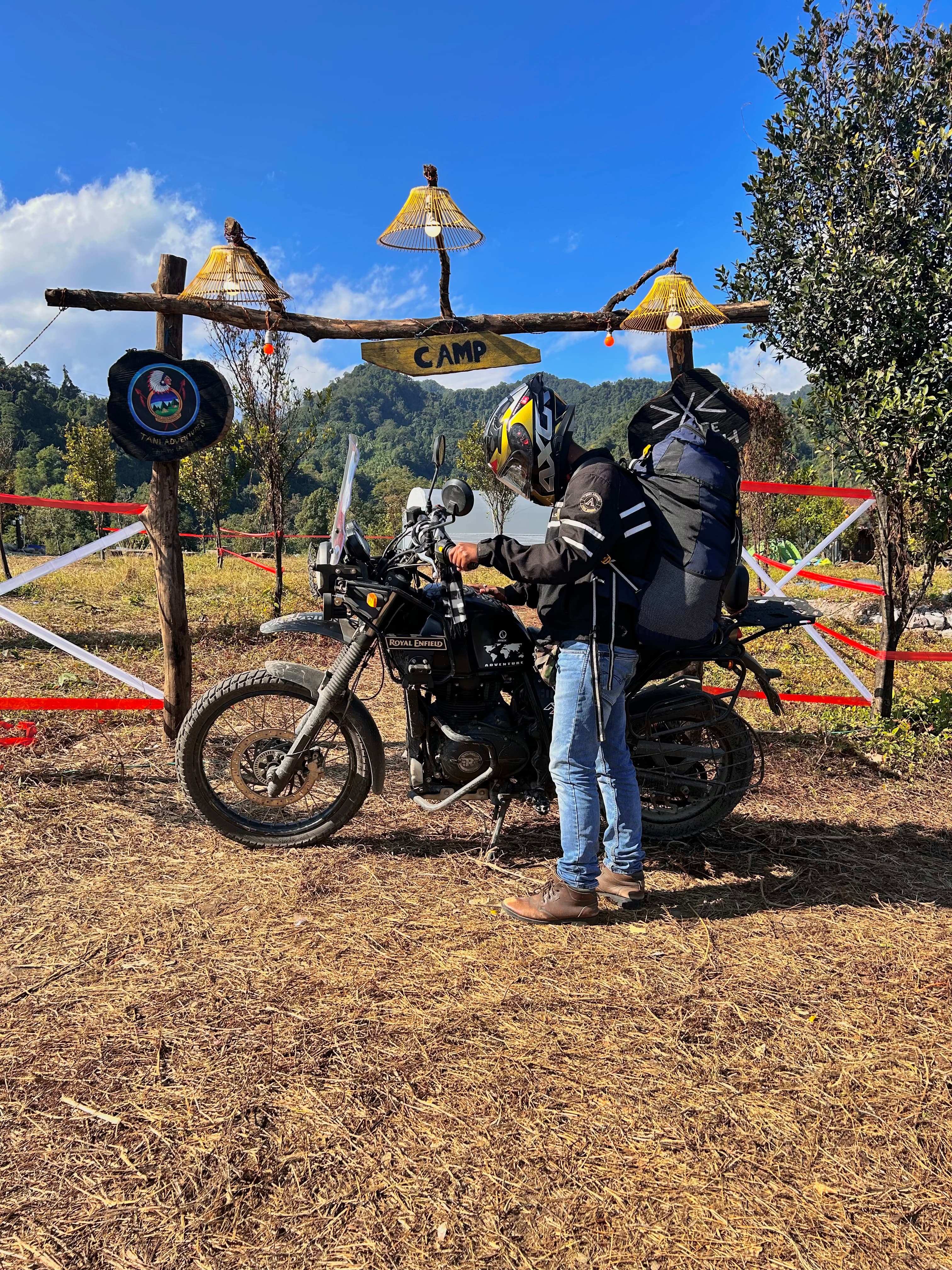
Cloud-wrapped ridgelines on the road to Anini, Dibang Valley

Dibrugarh → Anini

The signature road guide

By the team that drives it weekly

The Wayto Anini

Nine chapters, one river of a road: from Assam's tea flats over India's longest bridge, through the ILP gate, and up 235 kilometres of mountain to the quietest headquarters in the country. This is the whole drive — told the way we actually run it.

Roing to Anini climb
235 km
Chapters
9
Mayodia high point
2,655 m
Departure, always
6:00 AM

The road, chapter by chapter

Every beat, every truth

Each chapter below is one real stretch of the drive — what it looks like, and exactly what we do there. The story sells the road; the protocol is why you survive it smiling.

Open plains and river light at the start of the journey

Chapter 01

Tea Country

Dibrugarh & Tinsukia · Assam plains

The journey starts green and flat — tea gardens, morning traffic, a river breeze off the Brahmaputra. It feels like an ordinary drive. It isn't. Every kilometre from here is a step toward one of the emptiest corners of India.

What we do here

Airport and railway pickups with exact pins, a named coordinator, and feeder vehicles timed to your arrival — not a shared bus schedule.

The long bridge crossing into Arunachal's foothill country

Chapter 02

The Crossing

Bhupen Hazarika Setu · 9.15 km over the Lohit

India's longest bridge, and the moment the trip visibly becomes an expedition. Nine kilometres of water and sky, the far bank hazy with hills. Everyone in the vehicle goes quiet. They always do.

What we do here

A timed photo stop when conditions allow, the bridge story told properly, and the first stamp in your road passport.

The checkpoint road at the Arunachal border

Chapter 03

The Threshold

Shantipur Gate · the ILP checkpoint

Where paperwork becomes real. Permits out, IDs checked, names read off a manifest. Five minutes if you're prepared, an hour of negotiation if you're not. This is the door to Arunachal — walk through it properly.

What we do here

Our document ritual runs before departure: ILP verified against the passenger list, offline copies on every phone, one folder per vehicle. The gate becomes a formality.

Roing, the foothill staging town at the base of the climb

Chapter 04

The Reset

Roing · kilometre zero

The last full-amenity town on the route. Fuel needle to full, wallets filled with cash, one proper meal, every device charged. Beyond Roing there are 235 kilometres of mountain road and no second chances.

What we do here

Refuel, cash, supplies, and a live road-condition confirmation from our network up-route. If the mountain says wait, we have a buffer-day plan ready — Mehao Lake beats a landslide queue.

The climbing forest road toward Mayodia

Chapter 05

The Ascent

Baro Golai bends → Tiwarigaon → Coffee House

The landscape transforms in an hour: paddy gives way to forest, forest gives way to mist, and the road starts folding back on itself. The air cools. The driver downshifts. You're in the mountains now.

What we do here

Paced climbing, a warm-drink checkpoint, a washroom stop that actually exists. Nobody is rushed on the bends — the schedule is built around the road, not against it.

Mayodia Pass wrapped in cloud

Chapter 06

The Cloud Pass

Mayodia · 2,655 m

The route's high point and its weather line. In winter, snow. In September, cloud and cold rain — anyone who promises you a clear view in monsoon is guessing. Either way, the pass is a threshold: cross it and you're in the high valley's world.

What we do here

A controlled photo stop only when visibility and parking allow. Warm layers ready in the cabin. No lingering on a wet ridgeline.

The forest valley road beyond Mayodia

Chapter 07

The Valley Road

65 KM → Hunli

Down the far side into forest that doesn't end. There are dhabas and false 'quick stops' along here — and Kupunli Cave, which looks like a roadside attraction and is actually a two-hour trek. We frame it honestly: an extension, not a stop.

What we do here

A pinned meal halt with a named vendor — and a named backup. If you want Kupunli, we build the extra hours into the plan instead of stealing them from the drive.

The construction corridor between Hunli and Etalin

Chapter 08

The Contingency Corridor

Kano · Ranli · Angolin · Etalin

The honest stretch. NH-313 is still under construction through here — slide zones, fresh tarmac beside raw cutting, weather that can close the day. This is where road intelligence matters more than horsepower.

What we do here

Status checks 72 and 24 hours out, meal and toilet backups mapped, a recovery protocol if the road closes: wait points, contacts, and a plan B you hear about before you need it.

The Anini plateau at arrival

Chapter 09

The Reveal

Anini plateau · between the Dri and Mathun rivers

The road climbs one last ridge and the world opens — a high plateau of grass and cloud, a town smaller than your neighbourhood, mountains stacked to the horizon. You have arrived at the quietest district headquarters in India.

What we do here

Stay allocation confirmed before arrival, dinner waiting, reporting time set, and the next morning's plan already agreed. The arrival is an ending and a beginning.

The climb, in one line

Two thousand metres in fifty-six kilometres

This is the mountain leg — the 235 km from Roing over Mayodia Pass to the Anini plateau. Read it like a heartbeat: the steep spike is the pass, the long valley after it is where the road earns its reputation.

Roing → Anini · elevation profile

Indicative profile · altitudes at named points are published figures

0m1,000m2,000mRoingKM 0 · 390mBase town — fuel, cash, networkTiwarigaon22k · 700mTea stop before the climbCoffee House48k · 2,200mLast comfort haltMayodia Pass56k · 2,655mRoute high point65 KM65k · 2,350mLunch haltHunli90k · 1,240mFirst town after the passAngolin140k · 1,050mSlide-zone corridorEtalin175k · 800mDesignated lunch stopAnini235k · 1,968mThe plateau reveal

The honest clock

How long it takes, really

We publish a window, never a best case. The season picks your number — the mountain doesn't negotiate.

October – April

6–8 hours

Dry roads, clear passes. The climb at its most predictable.

May & September

8–10 hours

Wet road, cloud on the pass, real delays possible. Plan the window, not the best case.

June – August

Don't

Peak monsoon. Floods below, slides above. We don't run it, and we'll tell you not to.

Six rules that never change

  • Depart by 6:00 AM — every itinerary, every season. Arrive before dark.
  • Tank full in Roing. Don't rely on fuel between Roing and Anini, or on stock at destination.
  • Cash before the climb. Anini has banks, but cash, power and connectivity can fail.
  • ILP must mention Dibang Valley — checked at multiple posts.
  • Expect long zero-signal stretches. Download everything offline before Roing.
  • Warm layer and rain shell within reach, not in the boot — the pass is cold in every season.

Before you travel

Common travel questions

Everything people actually ask about the drive to Anini.

Ask our team

Plan a full day, split into two legs: about three and a half hours from Dibrugarh to Roing, then the 235 km climb from Roing to Anini — six to eight hours in the dry season, eight to ten when the road is wet. We stage the night in Roing so the climb happens in one clean daylight run.

We drive this road every week

Ride it with us

The vehicle, the driver, the permits, the buffer day, the named lunch stop — every protocol on this page is what you get when you book the drive with Travelspire. One message starts it.

Departures daily Oct–AprAnini guideILP guideReplies within hours